· 1 min read
How Does an Underground Imaging Device Work? Step by Step
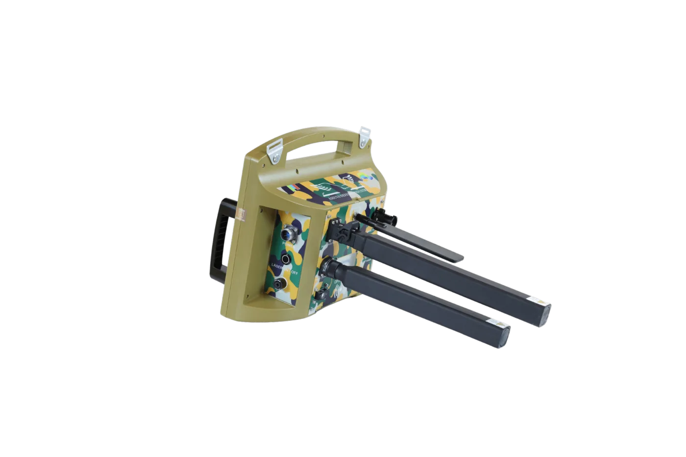
An underground imaging device collects data from sensors, combines it on a screen and leaves interpretation to the user. We explain the process in four steps.
Underground imaging devices are measurement systems that try to understand differences below the surface without digging. Details vary by model, but the logic fits four steps.
1. Data collection
Sensors such as magnetic, thermal, Lidar and radar take measurements while the user walks the site or the device is carried on a platform.
2. Display
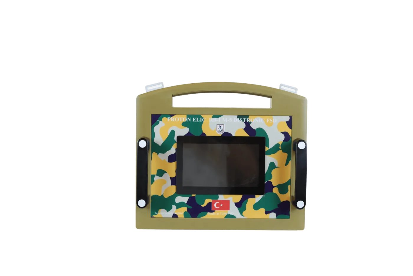
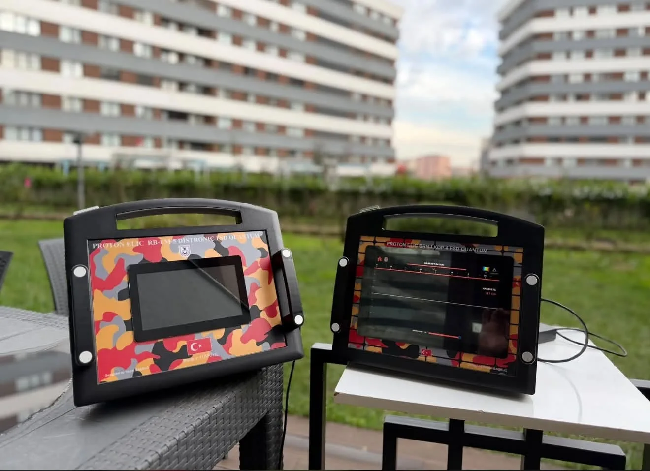
The data is combined on a screen to make areas that behave differently from their surroundings (anomalies) visible.
3. Interpretation
Not every difference on the screen is a target. Soil, moisture and environmental effects change the reading, so user experience and training matter.
4. Verification
Suspicious areas are re-checked with another pass or method. No device guarantees the same result in every condition.
See models and prices on our Proton Elic page. Assuva Dedektör provides delivery, training and technical support from Kocaeli, Türkiye, and ships worldwide.
Buying a device does not grant search or excavation permission. You must obtain the required permits from the competent authorities.