· 2 min read
Which Sensors Are Used to Detect Underground Voids and Tunnels?
What roles do radar, thermal, magnetic and Lidar sensors play when investigating underground voids and tunnels? We explain their strengths and limits.
Underground voids and tunnels cannot always be found reliably with a single method, so field work usually evaluates the data of several sensors together. Here is the role and limit of each.
Radar
Radar sends electromagnetic waves and measures the returning reflection, which changes at soil layers or voids. Soil moisture and clay content can limit how far the waves travel.
Thermal sensor
It images surface temperature differences. A void or moisture difference underground may show in surface temperature; weather, time of day and shade can change the result.
Magnetic sensor
It measures local changes in the Earth's magnetic field. Structures containing iron disturb the field, and soil minerals can also affect the result.
Lidar
Lidar measures distance with a laser and maps surface shape. It measures the terrain surface, such as subsidence marks, not the ground beneath, and complements other sensors.
Why use them together?
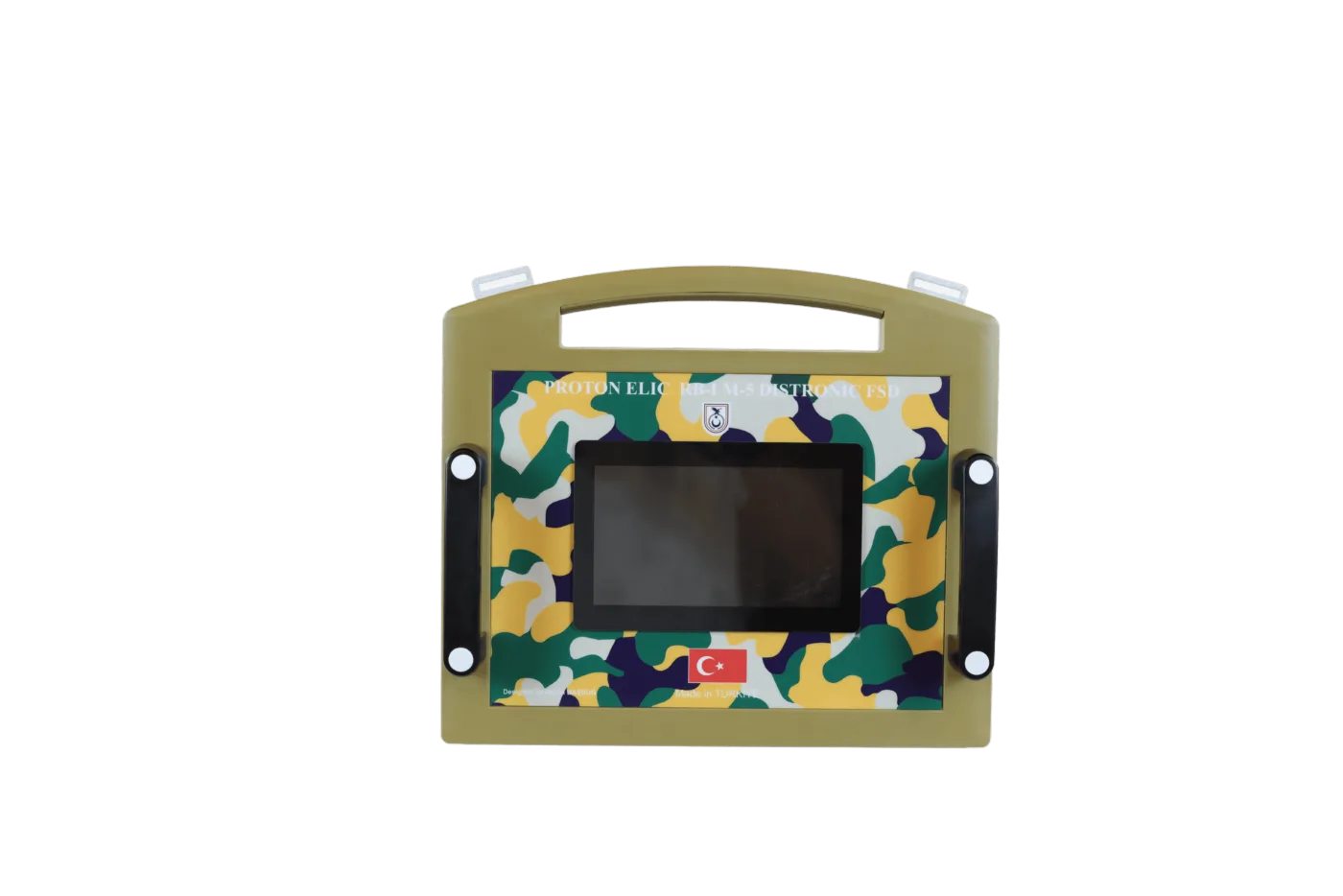
Each sensor measures a different effect, so comparing them gives a more reliable assessment. Results still depend on ground, moisture and user experience; no device can promise a 100% result, and findings should be supported by expert evaluation. See our Proton Elic page for multi-sensor systems.
Buying a device does not grant search or excavation permission. You must obtain the required permits from the competent authorities.